Thundershowers moving through, some may see some rain again tomorrow
Weather Headlines
- NEXT 9 HOURS: Scattered, light thundershowers
- SHORT TERM: Early shower on Monday
- LONG TERM: Temperatures above average
Latest Forecast
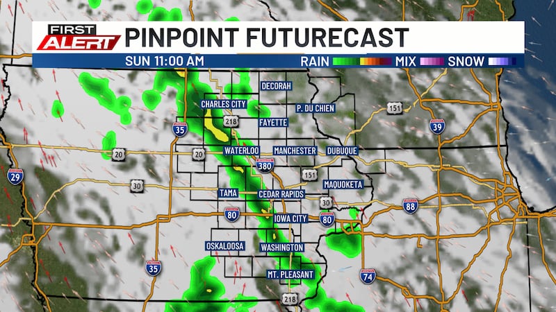
CEDAR RAPIDS, Iowa (KCRG) - Scattered, light showers are moving through eastern Iowa this morning.

These showers will continue through the early afternoon, with a few very isolated showers into the evening.
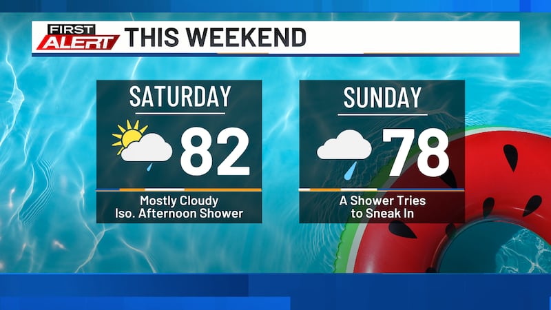
Highs will reach the upper 70s, with winds out of the southeast at 10 to 20 mph.
After the showers move out, partly to mostly cloudy skies will stick around, with another shower chance moving through overnight.
Lows tonight will be in the upper 50s and low 60s.
The next shower chance will start during the early morning hours of Monday.
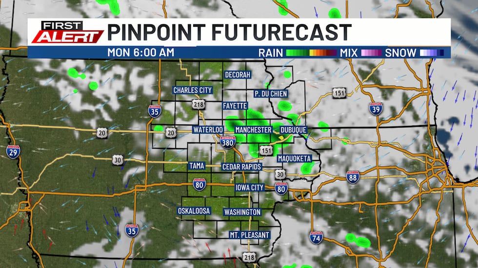
Most of the showers will remain across the northwestern viewing area and will move out of the area by the early afternoon.
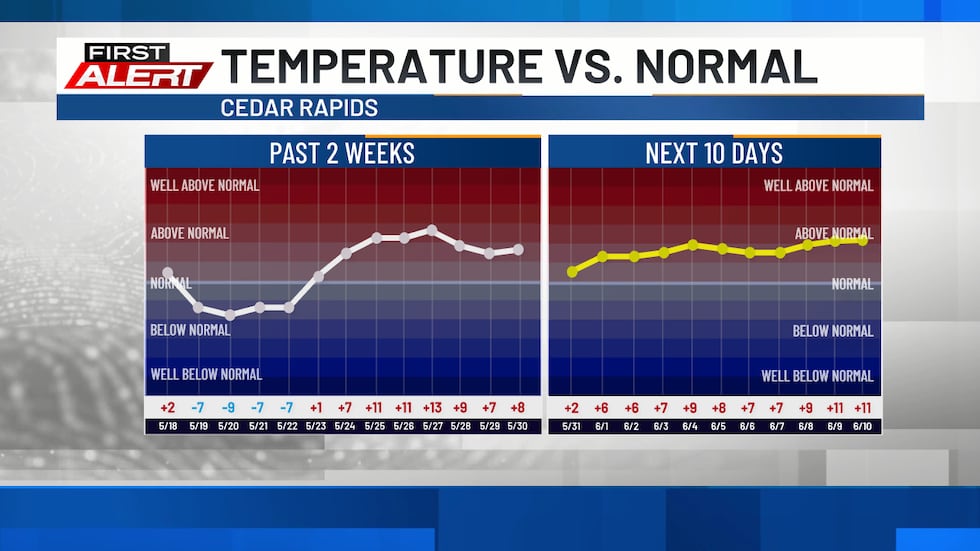
Highs on Monday will be in the low 80s. The low to mid 80s will return for the rest of the workweek.
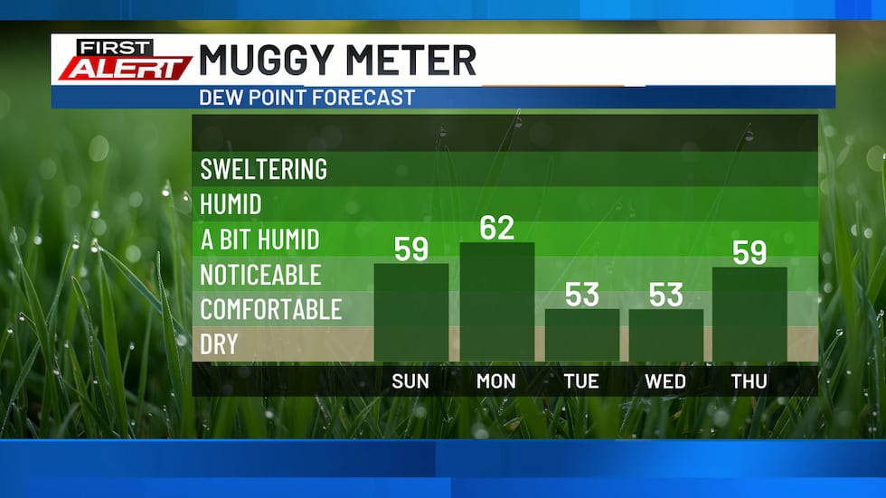
Dew points will be in the low 60s on Monday, with the low 50s expected on Tuesday and Wednesday. It will feel muggier toward the end of the week thanks to rising dew points.
Thursday brings back shower and storm chances that will continue through the rest of the week and into the early part of next week.
Copyright 2026 KCRG. All rights reserved.