Weekend shower chance, staying drier than normal
Weather Headlines
- NEXT 9 HOURS: Quiet and mild
- SHORT TERM: Spotty shower chance this weekend
- LONG TERM: Drier and warmer than normal
Latest Forecast
CEDAR RAPIDS, Iowa (KCRG) - Although we’re expecting more clouds and a spotty shower chance this weekend, the forecast is expected to run drier than normal.
Lows overnight to fall into the low to mid 60s under partly cloudy skies with light winds.
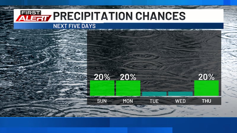
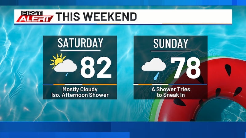
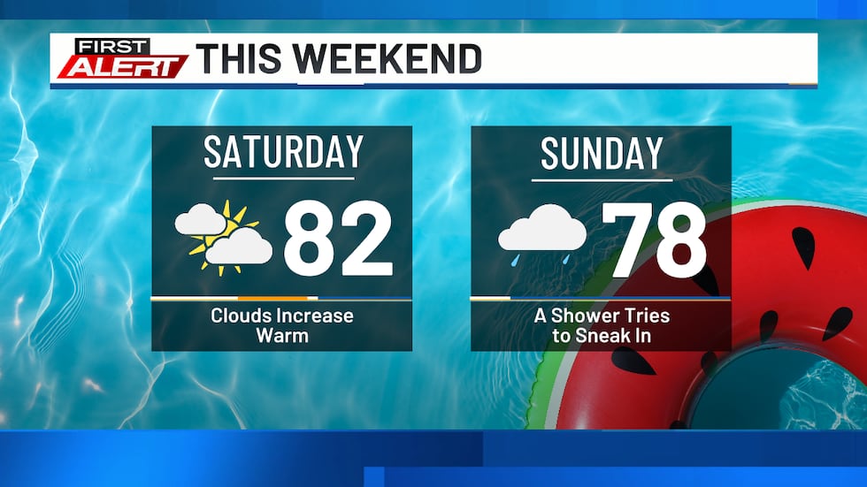
Saturday will feature more clouds than sun as highs reach the low to mid 80s. Winds remain light, and overall it should be a good day to get outside. Lows Saturday night fall into the upper 50s and low 60s. Skies are partly to mostly cloudy through the night, and a shower or two could drift through late.
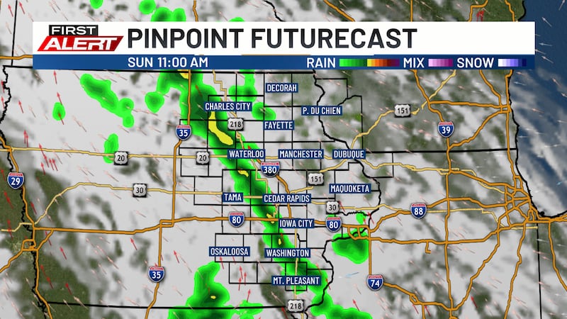
Sunday brings our best chance for showers. However, they will be spotty and light. Don’t plan on cancelling any outdoor plans because of them. Highs reach the upper 70s to near 80. A few showers could linger into Sunday night as lows fall into the upper 50s and low 60s.
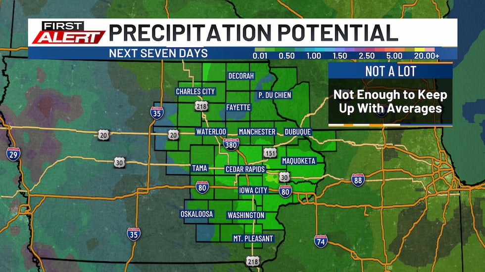
The overall weather pattern isn’t expected to change all that much through the first half of next week. This means shower and storm activity will remain just off to our west and south, while we stay dry. We could see a few showers and storms return by the end of next week, but these are expected to be scattered and light. As a result, we are expecting to see dry conditions get worse in the coming days. Temperatures, in the meantime, remain consistent in the 80s for highs and 50s and 60s for lows.
Copyright 2026 KCRG. All rights reserved.