Stray shower chance today, another opportunity tonight
Weather Headlines
- NEXT 9 HOURS: Isolated afternoon shower
- SHORT TERM: Scattered shower Sunday
- LONG TERM: Back to being warm
Latest Forecast
CEDAR RAPIDS, Iowa (KCRG) - A shift in the upper-level weather pattern is giving eastern Iowa a chance at some rain this weekend.

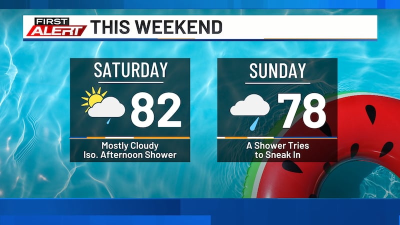
Highs today will reach the upper 70s and low 80s, with southeast winds at 10 to 20 mph.
A cold front is moving through today, and shower development is possible along it this afternoon.
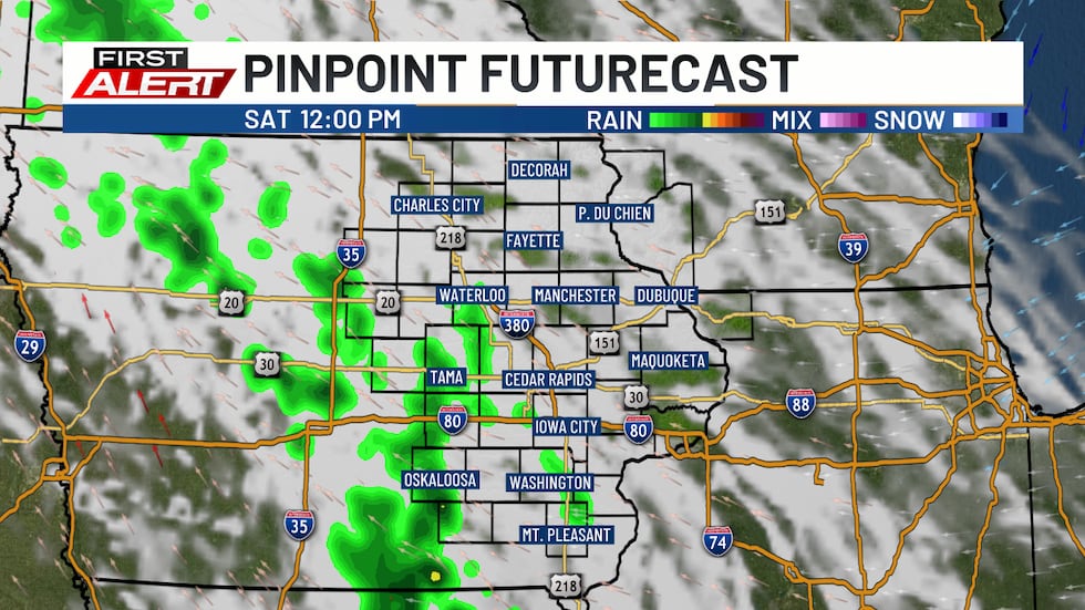
Any rain that does occur will be isolated and light. Lows will fall to the mid to upper 50s.
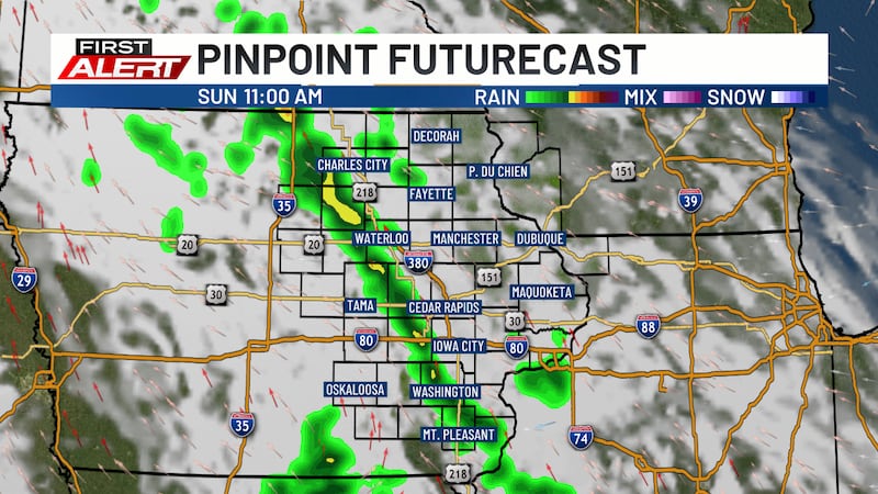
Another shower chance is possible tonight, starting around midnight and continuing into Sunday. These showers will start scattered and light. During the afternoon, a band of showers with embedded thunder is possible.
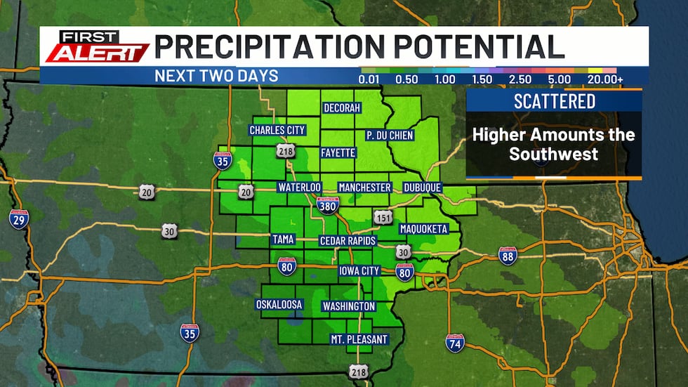
These will move out by the evening, with a few showers lingering overnight.
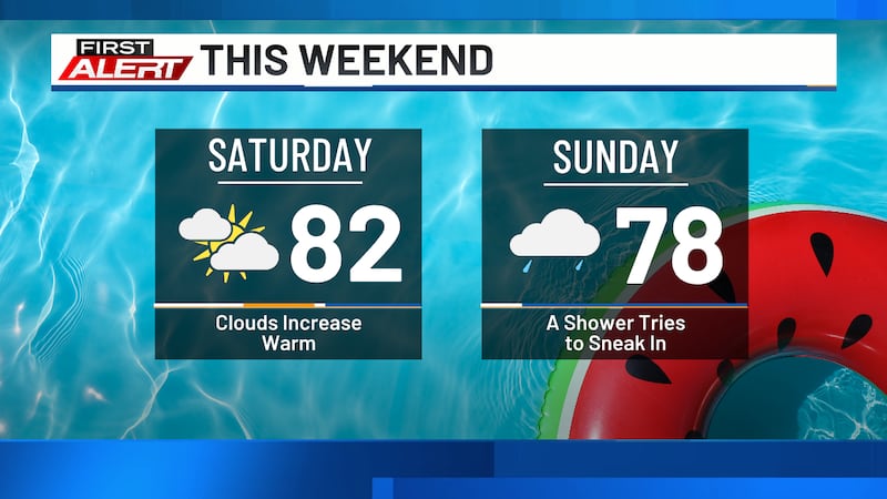
Highs on Sunday will be in the mid to upper 70s.
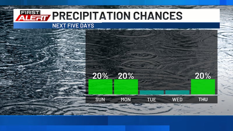
Dry conditions are expected on Monday with partly cloudy skies. Highs will also be back in the low to mid 80s, continuing through the rest of the workweek.
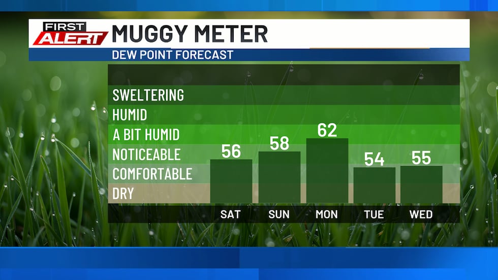
Dew points on Monday will be in the low 60s, making it feel slightly sticky.
Cloud cover will move out Monday night, leading to mostly sunny skies on Tuesday and Wednesday. Another opportunity for showers and storms is expected to develop on Thursday and Friday. Dry conditions will return for next weekend.
Copyright 2026 KCRG. All rights reserved.