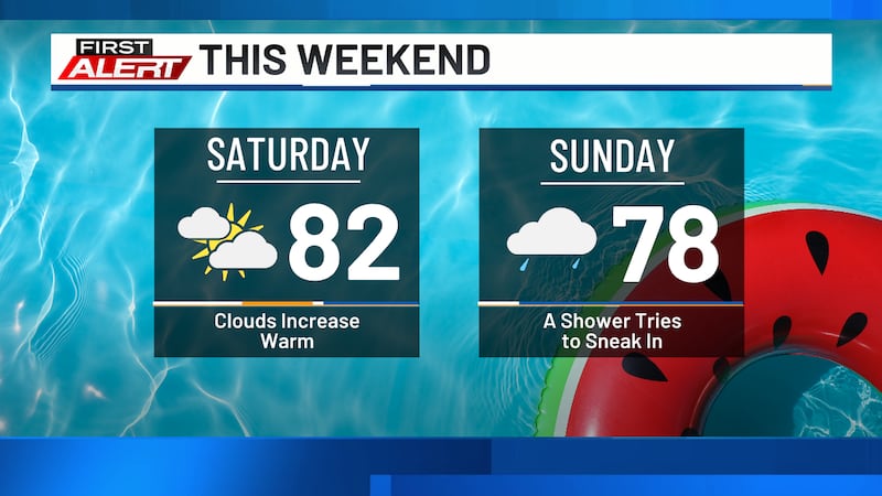
A stray shower Sunday, dry for most
Weather Headlines
- NEXT 9 HOURS: Mild with a stray sprinkle
- SHORT TERM: Passing shower Sunday & Monday
- LONG TERM: Drier & warmer than normal
Latest Forecast
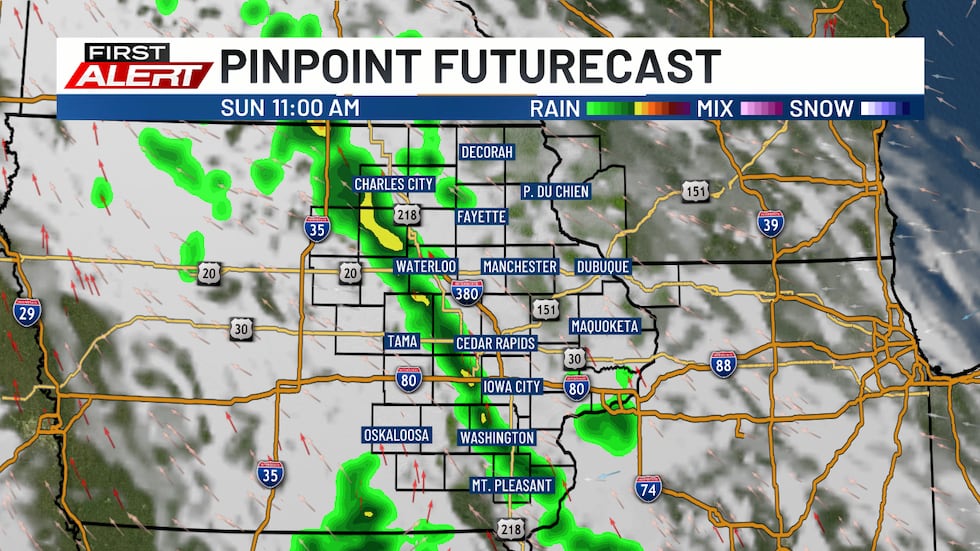
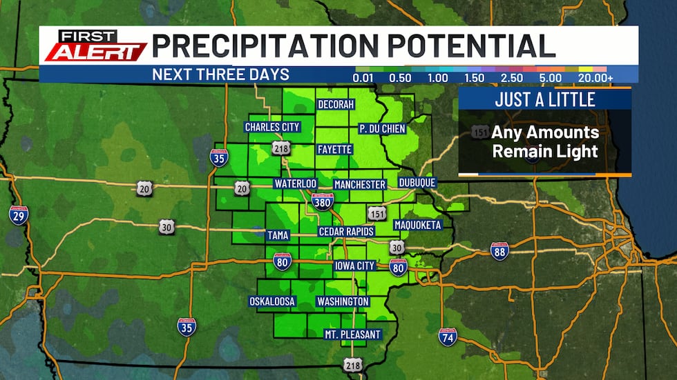
CEDAR RAPIDS, Iowa (KCRG) - Despite the chance for an occasional shower, we are expecting to see dry conditions expand in the coming days.
Lows overnight fall into the upper 50s and low to mid 60s under mostly cloudy skies. A spotty sprinkle or light shower is possible, but most are expected to remain dry. Winds are light out of the east.
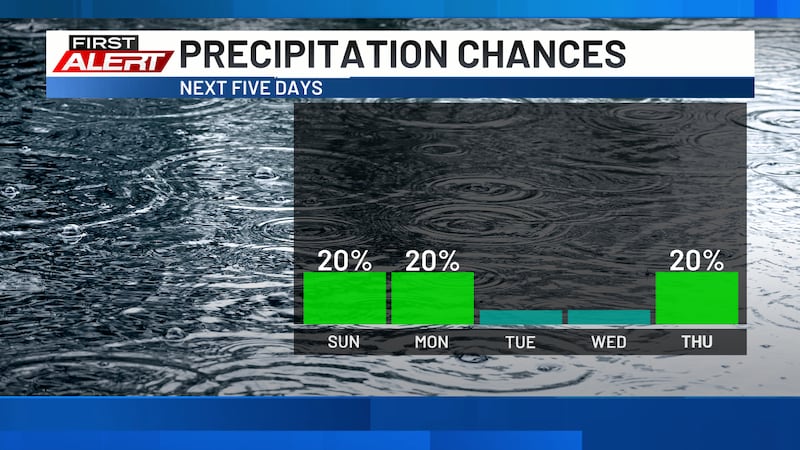
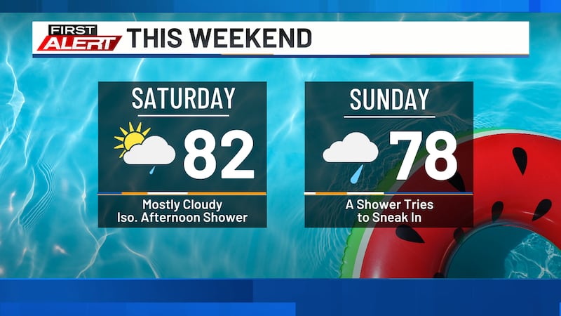
Sunday will bring more clouds than sun with highs in the upper 70s and low 80s. Once again, there is the chance for a light, passing shower, particularly during the morning annd early afternoon hours. Any activity is expected to be light and short-lived. The chance for a passing shower continues into Sunday night as lows fall into the upper 50s and low 60s.
Monday features more sunshine with partly cloudy skies and highs in the low to mid 80s. Once again, a passing shower cannot be ruled out, especially during the morning, but most areas can expect to remain dry. Lows Monday fall into the mid to upper 50s as skies turn mostly clear.
Tuesday through early Thursday are expected to be dry at this point with partly cloudy skies each day, highs in the low to mid 80s, and lows in the mid 50s to low 60s. We are keeping an eye on shower and storm chances late Thursday into Friday and will know more about specific timing, impacts, and rainfall amounts in the coming days. Overall, however, we are expecting the forecast to trend drier and warmer than normal through the first part of June.
Copyright 2026 KCRG. All rights reserved.