First Alert Day: Saturday rain/snow mix may cause slick spots
CEDAR RAPIDS, Iowa (KCRG) - The First Alert Storm Team has declared a First Alert Day for Saturday.
A First Alert Day is your alert to winter weather conditions that you will need to pay attention to and act on. This could include changing travel plans or anticipating a longer time to reach your destination.
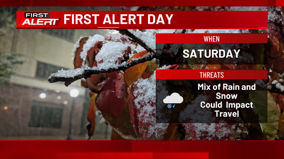
Initially on Saturday, most areas will be dry. Within a few hours after daybreak, the fast-moving storm system responsible for the wintry precipitation chance brings some rain to our western counties. This spreads eastward throughout the rest of the morning, with most areas seeing some wet conditions by lunchtime. All precipitation starts as rain in eastern Iowa.
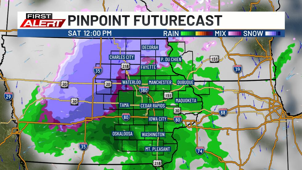
As colder air intrudes into the viewing area, precipitation will being to mix with some snow, or even change over completely in some areas. The magnitude and timing of this colder air still has some variability among the data we use to help make our forecasts, adding some extra uncertainty to the outcome on Saturday. But, enough snow could fall quickly enough to cause some slick spots in a few places.
The highest risk for travel impacts will be found by late afternoon into the evening when we lose the more direct sunlight of midday. While we will be cloudy, enough energy can get through those clouds from the Sun to help melt snow as it falls. In addition, after early day highs in the 40s, air temperatures will likely still be above freezing by a little bit as precipitation falls. Snow will also be falling onto warm ground from our fairly warm autumn so far, which will help to limit some of those impacts.
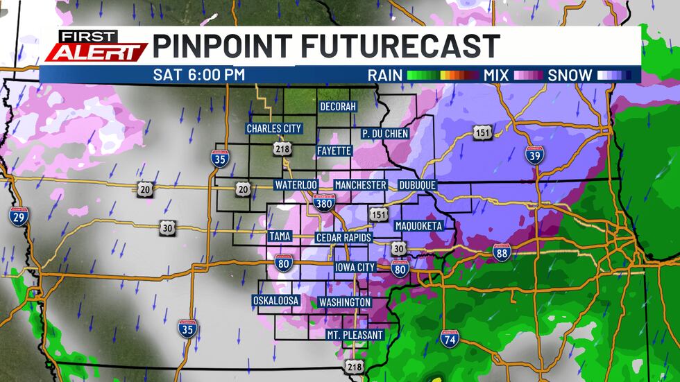
The bottom line is that we could see a band of minor accumulation, likely less than an inch, where preicpitation is able to firmly change over to snow. The highest risk of this could be north of U.S. Highway 30. In addition, a few slick spots could develop, especially on untreated paved surfaces or lesser-traveled streets and highways.
This isn’t the type of storm system where you should cancel all plans, including travel through rural areas. Instead, be thinking about your safe winter driving practices: slow down and give extra stopping distance when snow is falling (especially if visibility is reduced) and give yourself extra time to get to your destination. Use extra care when attempting to corner or turn at an intersection.
Conditions should improve later on Saturday evening and night as precipitation winds down and any slick spots get addressed by road crews. However, temperatures will be falling sharply, with lows on Saturday night in the 20s.
We will continue to monitor the situation and update you with any changes that come to your First Alert Forecast. You can find those on here on KCRG.com, KCRG-TV9, and the KCRG First Alert Weather app.
Copyright 2025 KCRG. All rights reserved.